
In this project we will reconstruct digitally the geological history of the Vajont valley in the last 30,000 years. This project is supported by "Istituto di Ricerca per la Protezione Idrogeologica del CNR" (IRPI) of Padua.
[Videos] [Few project's choices] [Screenshots] [Preliminary Videos]
Contacts: Christian Campigotto, Fabrizio Tagliavini, Marco Ronchetti, Davide Selmo, Alberto Borghese]
Introduzione (500Kbyte)
Italia: ultimo massimo glaciale (3,744Kbyte)
Genese dei ghiacciai (16,569Kbyte)
Ingressione del ghiacciaio (14,810Kbyte)
La Deglaciazione (4,778Kbyte)
Ambienti e strutture (5,017Kbyte)
Il Movimento del ghiacciaio (1,154Kbyte)
Sequenza de La Pineda (2,115Kbyte)
La grande Frana de La Pineda (3,668Kbyte)
Le indagini strutturali (2,794Kbyte)
Il percorso didattico (8,379Kbyte)
After a careful review of software products available on the WEB, we have selected those SW, which allow to achieve the goal with good quality. Some of these software are list at the bottom of this section.
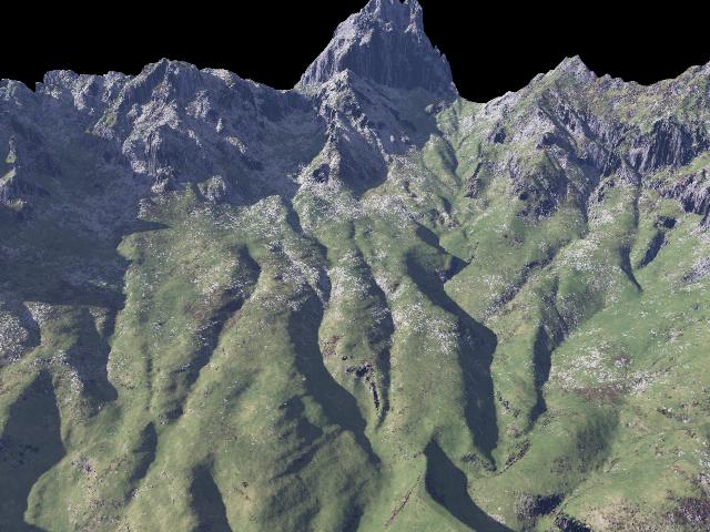
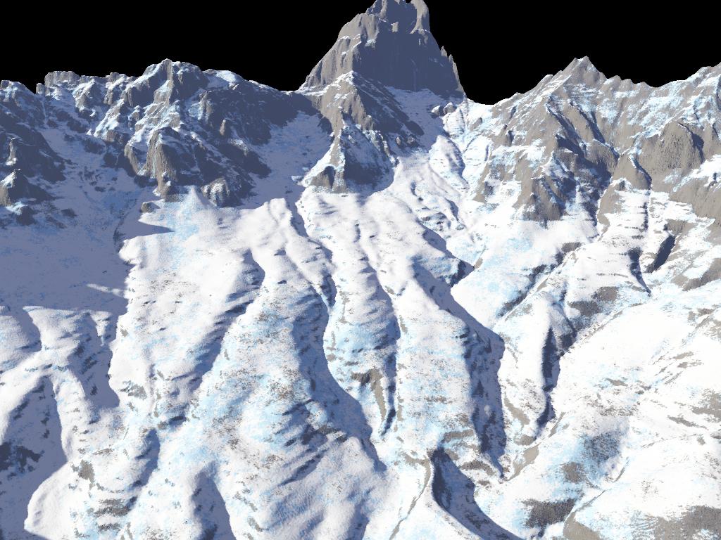
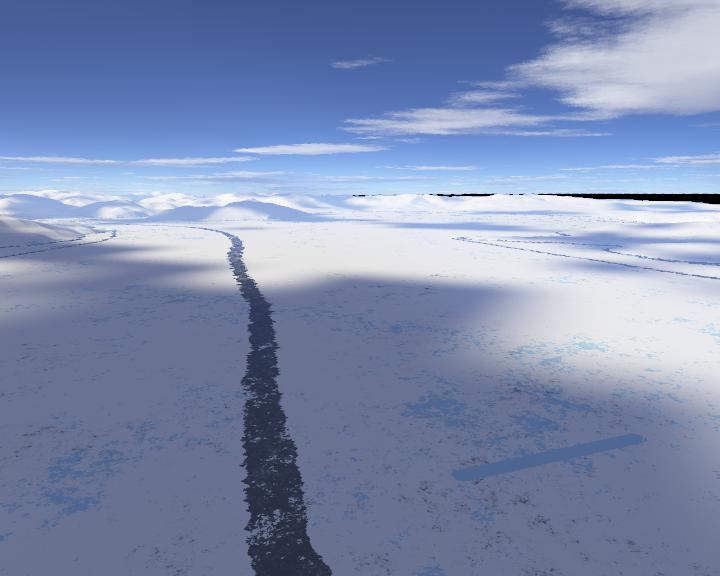
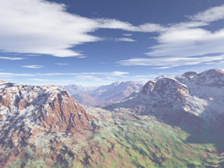
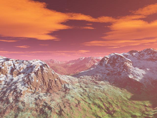
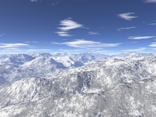
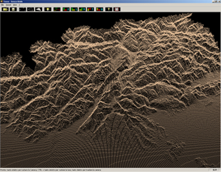
As we have to provide static images, Terragen guarantees a good quality of the final results, thanks to its multiple possible choices. Among these, the possibility of associating different types of terrains with different materials on the basis of the height and terrain inclination (e.g. snow). Moreover, it allows to create realistic terrains, which can be further modified through a sub-set of parameters.
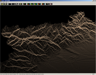
We started from recent geological maps provided in different formats: *.dxf (provided by AutoCAD) and *.asc (provided by the Software ArcGis).
We started trying to convert the file *.dxf in an open format: "xyz" (an ASCII file in which, at each line, are reported the x, y and z coordinates of a point). In this operation we wanted to convert polylines in gridded 3D points. We first tried 3DEM, which allows also to convert data in *.ter format (suitable for Terragen software) xbesides "xyz". However, in few cases (not well documented and cited rarely on the WEB), wrong points are generated in this convertion process. We have tacked this further problem with a Java application, which identifies this impulsive noise, and correct it thorugh median filer (switching median filter).
We have then switched to DXF2XYZ software, which does not suffer from the above problem, and it allows generating files in "xyz" format, which are correct.
Once these points have been generated, they are imported in Global Mapper software, which allows to cut a squared area of the map and write in a file *.ter (Terragen format).
We can also import raw maps, that are gray level maps. Lastly maps file with ".ter" extension can be imported (this is a format proprietary of Terragen). Two free or shareware software allow to convert standard format (*,dem, *.dtm, *.xyz) in format ter; these are 3DEM and GlobalMapper.
Once *.ter files have been generated, they are processed by Terragen software. Inside this software, it is possible also to create virtual camera paths through "Cam Path", a plug-in of Terragen, which allows to export the single frames shot by the virtual camera (see video).
Among the software evaluated are:
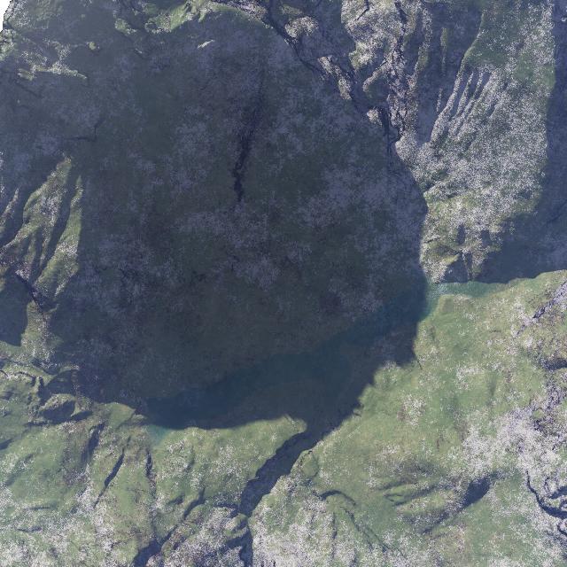
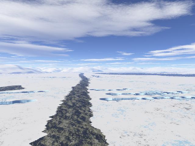
Additional images: on Val Zemola (1, 2), Vajont lake, Creapaccio formation (1, 2).
|
|
|
|
|
|
Video a 15fps compressione alta (645 kb)
Video a 15fps compressione bassa (1658
kb)
Video a 25fps compressione media (762
kb)
Last update: 22.July.2005